|
|
|
||
| Population: (2001) | 3030 |
||
| Elevation: -lowest: -centre: -highest: |
sea level 4 m(centre) about 600 to 800 m |
||
| Postal code: | 330 52 | ||
| Area/distance code: | 11-30-22980 (030-22980)-41 | ||
| Municipal code: | 5103 | ||
| Car |
|
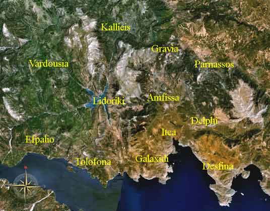
Municipalities of the Phocis Prefecture
Retrieved from "http://en.wikipedia.org "

|
|
||||||||||||
|
|