|
|

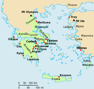
Map of Homeric Greece
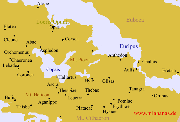
Locris was a region of ancient Greece, made up of two districts. Eastern, or Opuntian, Locris was on the mainland coast stretching from Thermopylae to Larymna, opposite Euboea, while Western, or Ozolian, Locris was on the northern coast of the Corinthian Gulf between Naupactus and Crisa, going inland up the Amphissa valley. The territory of the Locrians was thus divided into two by Doris and Phocis, perhaps due to an early invasion of a contiguous Locrian state. This fact, combined with the region's infertility, meant that the Locrians tended to be dominated by their neighbours, and played little part in Greek history. Opuntian Locris was named after its main city, Opus. The main city of Ozolian Locris was Naupactus, which was a seaport[1]. In the 7th century BC, some Locrians founded the city of Locri in southern Italy, naming it after their native land, although there is some disagreement over whether it was those from Opuntian Locris or from Ozolian Locris who were responsible. Links Locris page in the "Plato and His Dialogues" website Retrieved from "http://en.wikipedia.org"
 |
|
|||||||||||||||||
