|
|
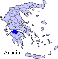
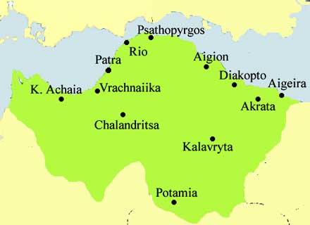
Demenika (Greek: Δεμένικα) is a community 5 km south of downtown in south suburban Patras that is divided into two municipalities. The northern part up to Glafkos (Glaukos) river is in the city of Patras, and the southern part up to the new beltway (superhighway) is in the municipality of Messatídi with western Saravali and northern Ovrya. It also bounds by Lefka, along with mixed residential and industrial area in the south and west. The population is around 2,000 to 2,500 in 1996. Its main streets are Akrotiriou and Demokratias. Most of the urban sprawl lie 100 to 200 m within the two main streets. The community was dominated by agriculturalism with olive groves, pastures, and mixed farming used to dominate the land. As suburban housing came into the area, urban dominates rural areas. Data Location: Latitude: 38.201 (38°12'7') N Longitude: 21.646 (22°44'45') E Postal code: 265 00 Elevation: 45 m Dialing code: +11+30-2610 (030-2610) Most of the land was used for farming until the 1970s and the 1980s when mixed or urban area is the majority of the community, the rest are agrigultural purposes mainly founded in the southeast. Tiny portions Forest is founded in the northeast and within the southern tip of the Glaukos Valley. The community or the section includes a school and a church. Retrieved from "http://en.wikipedia.org"
 |
|
||||||||||||||
|
|