|
|
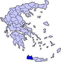
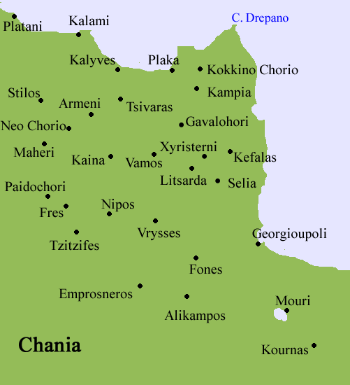
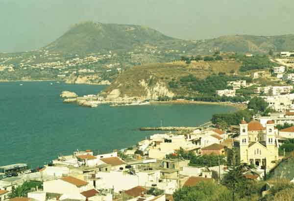
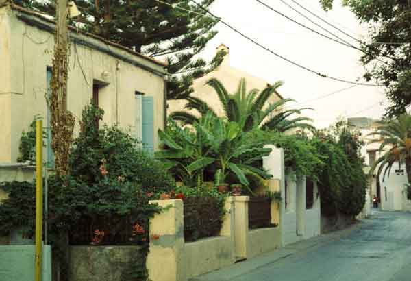
Kalives (or Kalyves, Καλύβες) is a large village in Crete, Greece. It is now a popular tourist resort that has maintained its Cretan character. Kalives lies about 20 km east of Chania in the Apokoronas area. It is on the coast at the entrance of Souda Bay. It essentially consists of one long road, with houses opening directly on to it, with the occasional alley behind. The town is bound on one side by the sea and the other by low hills. A long sandy beach runs alongside most of the town, interrupted by a small stream popular with ducks. The beach is popular with tourists and there are many apartments and touristy taverna restaurants in the village. However, Kalives is a working - not just a tourist - village, so there is a good selection of shops: bakery, ironmongers and so on - even a barrel maker. The centre is dominated by a fine church with a square in front which nevertheless can be easily overlooked. Kalives' saint is Ag. Paraskevi ("Saint Friday") and the saint's day, carnival and other festivals are popular celebrations. On Kastelli Hill, east of the town, are the remains of the fortified settlement Castello Apicorono, identified by some scholars as the site of ancient Ippokoronion, which is thought to have given the Apokoronas region its name. In classical and Byzantine times, Kalives is the likely site of Kissamos, one of the ancient city of Aptera's two harbours. Kalives is the base of the municipality of Armeni, covering six or seven other settlements inland. The current mayor (2004) is of the Nea Dimokratia party. A short walk out of the village to the west is a collection of stone buildings including a taverna and a chapel known as Koumos built by a local man who spent ten years erecting them. Paths are littered with mosaics, walls stuffed with stones in the shape of fish, snakes and other creatures with rough tables and chairs of stone. Before reaching Kalami village, another beach - 'Kyani Akti' is hidden behind fields of bamboo. Historical population
Retrieved from "http://en.wikipedia.org"
 |
|
|||||||||||||||||||||||||||||||||||||||||||||||||||||||


|
|