|
|
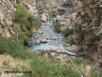
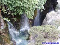
Rethymno Prefecture
Νομός Ρεθύμνου
|
| Statistics |
| Periphery: |
Crete |
| Capital: |
Rethymno |
| Area: |
1,496 km² Ranked 44th |
| Elevation: |
Lowest: sea level
Highest: south-central part |
| Inhabitants: |
86,532 Ranked 37th |
| Population density: |
54.67/km² |
| ISO 3166-2: |
GR-93 |
| FIPS code: |
GR44 |
| Car designation: |
PE |
| Code for the municipalities: |
-xx |
| Number of provinces: |
4 |
| Number of municipalities: |
11 |
| Number of communities: |
none |
| Area/distance code: |
283x0 |
| Postal code |
74x xx |
| 2-letter abbreviation/HASC: |
RT |
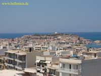
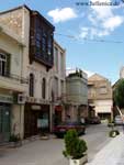
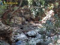
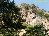
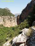
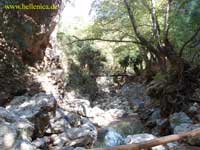
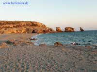
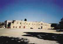
Rethymno (IPA ['reθimno]) (Greek Ρέθυμνο) is a prefecture in the island of Crete, Greece. Its capital is the city of Rethymno.
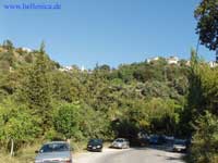
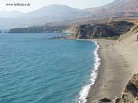
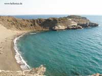
Today its main income is tourism. The countryside of the prefecture is also based economically on agriculture and herding. The village of Anogia is reported to have the highest fertility rate of the EU. Two other notable towns in the Rethymno prefecture are Spili and Agia Galini.
Famous inhabitants of the Rethymno Prefecture
Municipalities
|
Ancient Greece
|
Medieval Greece / Byzantine Empire
|
Modern Greece
|
|
Science, Technology , Medicine , Warfare
, Biographies , Life , Cities/Places/Maps , Arts , Literature , Philosophy ,Olympics, Mythology , History , Images
|
Science, Technology, Arts
, Warfare , Literature, Biographies
Icons, History
|
Cities, Islands, Regions, Fauna/Flora ,
Biographies , History , Warfare
Science/Technology, Literature, Music , Arts , Film/Actors , Sport , Fashion
|

|