|
|
Periphery:Peloponnese
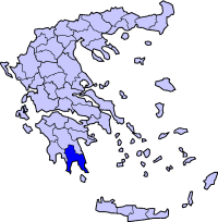
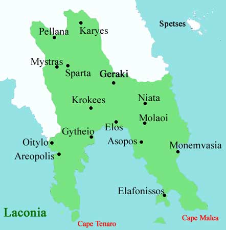
Laconia (Λακωνία), also known as Lacedaemonia, was in ancient Greece the portion of the Peloponnesus of which the most important city was Sparta. Throughout the classical antiquity the Spartans held Messenia, whose inhabitants (the helots) were permanently enslaved. In medieval times it was part of the Byzantine Empire and following the Crusades it was the home of the Byzantine Despotate of Mystra, held by the penultimate Byzantine ruling dynasty, the Palaeologi. In modern times, Laconia has the legal status of a prefecture, with Sparta its administrative capital. Its main towns and cities are Amyclae, Areopolis, Gytheion, Molaoi, Monemvasia, Mystras, Neapoli and Sellasia. It encompasses Cape Malea and Cape Tainaron and a large part of the Mani Peninsula.
The Vale of Laconia seen from the battlements of Mystras The Evrotas is the longest river in the prefecture. The valley of the Evrotas is predominantly an agricultural region that contains many citrus groves, olive groves and pasture lands and most of all, oranges. It is the location of the largest orange production in the Peloponnese and probably all of Greece. The brand of orange juice named after this prefecture Lakonia is based in Amyclae and sells fresh orange juice entirely from this region.
Taygetus (2,407 m), known as Pentadaktylos (five-fingers) throughout the middle ages, is west of Sparta and the Evrotas valley. It is the highest mountain in Laconia and the Peloponnese, and mostly covered with pine trees. Two roads connect the adjoining prefectures of Messinia and Laconia: one is a tortuous mountain pass through Taygetus and the other bypasses the mountain via the Mani district to the south. The other major mountain is Parnon (1,961 m) to the east.
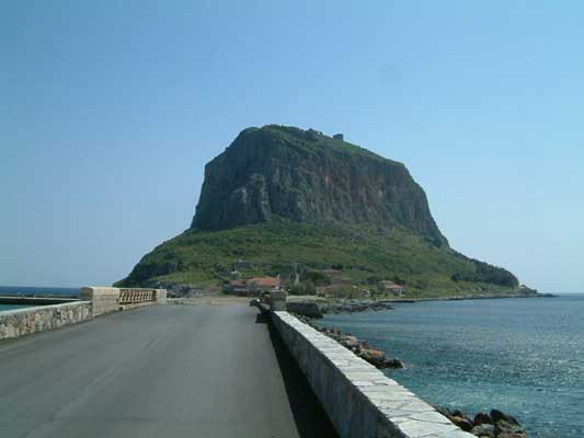
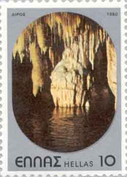
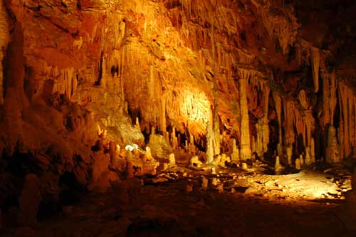
Monemvasia A stalactite cave in the southwest of the prefecture is located south of Areopolis. This famous cave is called Dirou and is a major tourist attraction.
Diros Cave, April 2006, Photo by Markos Alexandrou The Neolithic Cave of Diros
It is bounded by the Taygetus mountains to the west with Messenia, Arcadia to the north and with the Parnon mountains to the northeast, the Myrtoan Gulf to the east and the Gulf of Laconia and the Mediterranean Sea to the south. The islands of Kythera and Antkythera lie to the south, but they administratively belong to the prefecture of Piraeus. The English word "laconic" is derived from the name of the region by analogy - to speak in a concise way, as the Spartans were reputed by the Athenians to do.
Climate The area has hot summers and mild winters in most of the prefecture while in the mountains, especially Taygetus, snow is very common throughout the winter. Transportation
Communications Radio Fly FM - 90.3 FM (Sparta)
Television Ellada TV - UHF 43, Sparta
Population history 1907: 87,106
Provinces Province of Epidavros Limiras - Molai
Municipalities Name of municipality Municipal code Seat Postal code There are two independent communities and they are Elafonisos (mun code: 3206, postal code: 230 53)
Links See also:
Retrieved from "http://en.wikipedia.org/"
 |
||||||||||||||||||||
|
|
