|
|
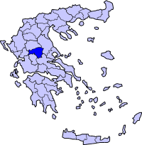
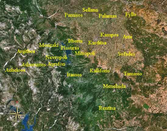
Trygona or Trigona (Greek: Τρυγόνα), also with the o accented is a Greek mountainous village located west of Karditsa in the western part of the Karditsa Prefecture. Trygona is also in the municipal district of Darkotrypa and the municipality of Mouzaki. Trygona had a population of 104 in 2001. Trygona is located 35 km west of Karditas and is in the foot of the Pindus mountains. Its residents are based in agriculture.
Division of the department of Drakotrypa
Population Year Population 1981 863 After World War II and the Greek Civil War, the population steadily declined as residents moved to larger towns and cities and the richest countries in the world, between 1981 and 1991, it saw a population loss and it lost enormously between 1991 and 2001. Other Trygona has a school, a lyceum (middle school), and its gymnasium (secondary school), churches, and a square (plateia). Trygona Location: Latitude: 39.394 (39° 23' 38") N Altitude: Postal code: GR-430 60 Retrieved from "http://en.wikipedia.org"
 |
|
|||||||||||||||


|
|