|
|
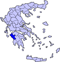
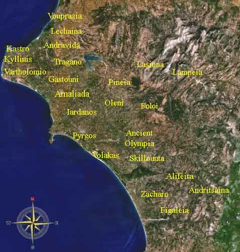
Dafniotissa (Greek: Δαφνιώτισσα, from Δάφνη Dafni + -ιώτισσα, -iotissa feminine form of -ιώτη, -ioti), is a village in the east-northeastern part of the municipality of Amaliada and the easternost in the northcentral part of the prefecture of Ilia. It is located on a road connecting Amaliada and Simopoulo along with GR-33 (39th km of the Patras - Tripoli .). It is located about 30 km ENE of Amaliada and about 50 km N of Pyrgos, about 8 km S of Kentro and about 10 km W of Simopoulo, about 120 km W of Kalavryta and about 55 to 60 km W of Lampeia. Nearest places
Geography Location:
Postal code: 270 69
Historical population
Dafniotissa is one of the slowest villages in population growth from 1981 to 2001. The area has a few farmlands and pastures but much of the community are hilly and forested along with some bushes. Pine trees dominate the community and has a valley northward to the man-made lake of Peneus. The mountaintop is located in the west. The mountains dominate the south and east. Dafniotissa also has a small road to Kryoneri, Geraki and Peristeri. Until the 1960s, much of the houses had no electricity and much of its roads weren't paved. Rally racing took place on a earth road to Dafniotissa. In June 2003, a hailstone hit the region along with Peristeri and Keramidia ruining vineyards and some crops.
Links Dafniotissa (in Greek)
See also:
 |
|
|||||||||||||||||||||||


|
|