|
|
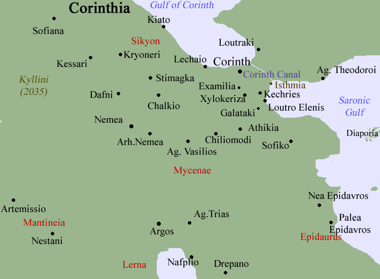
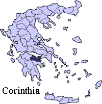
Examilia (Greek: Εξαμίλια) is a community in the municipality of Corinth. Distance is about 7 km south of Corinth and 3 km S of the Corinth interchange with GR-8A/E94, the old road and E of GR-7 and E65, E of Kechries (Cenchreae), W of Loutra Elenis .
Nearest places
Geography
Location:
- Latitude: 37.896 (37°°53'43') N
- Longitude: 22.925 (22°°55'33') E
Postal code: 201 00
Elevation: 20 to 84 m
Dialing code: +30-27410 (030-27410)
Historical population
| Year |
Communal population |
| 1981 |
1679 |
| 1991 |
1409 |
| 2001 |
1653 |
Other
The community has a school, a church and a square(plateia). The population also has Roma minority.
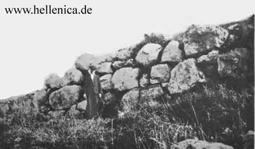
A castle is located near the community.
Hills dominate the east along with a few forests while farmlands dominate the southern and the western part of the area.
Its basin area covers 34.44 km² of land.
See also:
Communities of Corinthia
|
Ancient Greece
|
Medieval Greece / Byzantine Empire
|
Modern Greece
|
|
Science, Technology , Medicine , Warfare
, Biographies , Life , Cities/Places/Maps , Arts , Literature , Philosophy ,Olympics, Mythology , History , Images
|
Science, Technology, Arts
, Warfare , Literature, Biographies
Icons, History
|
Cities, Islands, Regions, Fauna/Flora ,
Biographies , History , Warfare
Science/Technology, Literature, Music , Arts , Film/Actors , Sport , Fashion
|

|
|