|
|
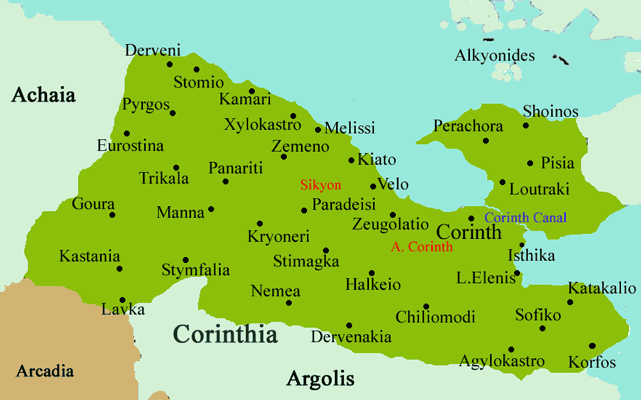 Evrostina or Evrostini (Greek: Εβροστίνα) is a municipality (since 1998) in the northwestern part of Corinthia, Greece. Its seat of administration is the town Derveni (Greek, Modern: Δερβένι, Ancient/Katharevousa: -on), older spellings, Dervenio, Dervenion. It is linked by an old highway while the new highway is the closest 100 m south and is less than 50 m from the tracks and the furthest at 100 to 200 m away while the interchange is about 1 km W. Distance from Patras is about 73 km E, NW of Stymfalia, 4 km N of Rozena, about 50 km W of Corinth and about 142 km W of Athens. It is bordered with the prefecture of Achaea to the west. Nearest places
Division of the municipality
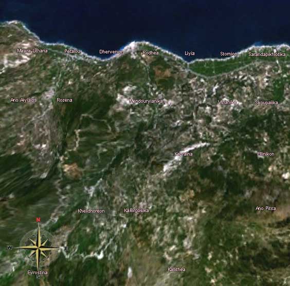
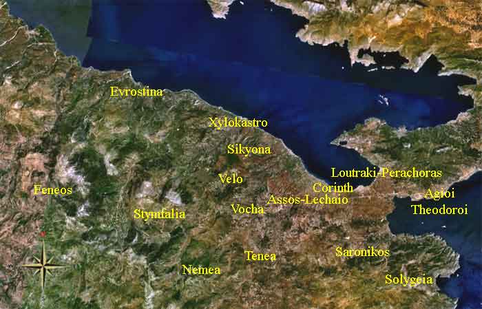
Evrostina municipality, Greece Satellite images
The village has a school, a lyceum, a gymnasium, a church, post office, banks, a train station, a beach and a square (plateia). The town is lined up within the highway and the shoreline. A grassy green mountain is about 100 south of the centre while another mountain is in the southwest. Olive groves are founded in the west. Farmlands are founded east of Derveni. Some forests are lined up with the superhighway. Rozena Rozena is 4 km N of Derveni. In the center of Rozena is the Church "Ypapanti tou Kyriou", build 1928, there is also a memorial of the deads of war. Rozena Google Earth Evrostina Evrostina (older name Zacholi) a mountain village (c. 700 m) ist 14 km from Derveni or c. 70 km from Corinth. Year Population 1991 123 Chelydori Chelydori (or old form Chelydoreon) is a small village , old name Koutos The place is called according to the Chelydori mountain where the young Hermes discoverd the tortoise shell (Chelys) which he used to build a lyre. Mavra Litharia Mavra Litharia () is a small village 5 km W of Derveni Pyrgos Pyrgos ( ) is 8 N of Derveni., Pyrgos means tower, named after a byzantine tower in the region Stomion
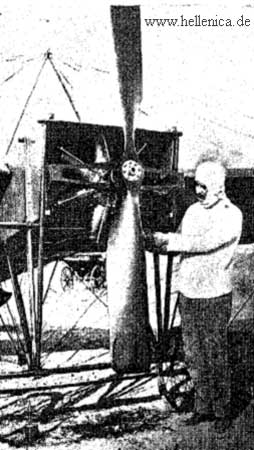
Alexandros Karamanlakis (+ end of August.1912)
Alexandros Karamanlakis Stomio (older form Stomion) is a sea side village. In the village is the memorial of the Greek pilot Alexandros Karamanlakis who was the first ever Greek pilot who died in an accident 29 August 1912 in the nearby sea. Links http://www.evrostini.com (in Greek) See also: Evrostina (mountain), a mountain elevation at 400 m. It also has a weather tower.
 |
|
|||||||||||||||||||||||||||||||||||||||

|
|