|
|
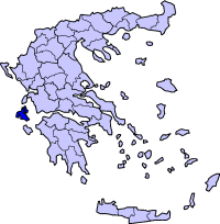
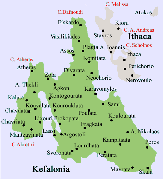
Kremmydi (Greek: Kρεμμύδι, Modern Greek meaning onion) also Kremydi, Kremidi, Kremmidi is a village located between Markopoulo and Pastra in the municipality of Elaios-Pronnoi in southeastern part of the island of Kefalonia. The village length is 600 to 700 m. A view of Kateleios and the island of Zante can be seen. Located on the road linking Argostoli and Poros. The nearest communities are Markopoulo to the west, Kateleios to the east and Pastra to the north.
Geography
Location:
- Latitude: 38.089 (38°°5'18) N
- Longitude: 20.747 (20°°44'45') E
Postal code: 280 82
Elevation: 280 m
Dialing code: +30-26710-8
Historical population
| Year |
Communal population |
| 1991 |
63 |
| 2001 |
68 |
The village has no school or a square plateia, It lies on the west side of the valley.
Links
See also:
Communities of Kefalonia
Municipal districts with settlements in brackets
Agia Eirini | Agios Georgios | Agios Nikolaos | Argini | Chionata (Kolaitis | Thiramonas) | Markopoulo (Kateleios | Kato Kateleios) | Mavrata | Pastra (Kremmydi) | Poros (Asprogerakas | Kampitsata | Riza | Tzanata) | Skala (Alimata | Fanies | Ratzakli) | Valerianos (Atsoupades | Plateies) | Xenopoulo (Andriolata | Kapandriti
|
|
Ancient Greece
|
Medieval Greece / Byzantine Empire
|
Modern Greece
|
|
Science, Technology , Medicine , Warfare
, Biographies , Life , Cities/Places/Maps , Arts , Literature , Philosophy ,Olympics, Mythology , History , Images
|
Science, Technology, Arts
, Warfare , Literature, Biographies
Icons, History
|
Cities, Islands, Regions, Fauna/Flora ,
Biographies , History , Warfare
Science/Technology, Literature, Music , Arts , Film/Actors , Sport , Fashion
|
|
|