|
|
- Street map from: , , or
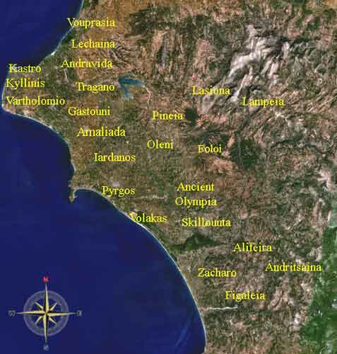
- Satellite images: or - image now available
|
Ancient Greece
|
Medieval Greece / Byzantine Empire
|
Modern Greece
|
|
Science, Technology , Medicine , Warfare
, Biographies , Life , Cities/Places/Maps , Arts , Literature , Philosophy ,Olympics, Mythology , History , Images
|
Science, Technology, Arts
, Warfare , Literature, Biographies
Icons, History
|
Cities, Islands, Regions, Fauna/Flora ,
Biographies , History , Warfare
Science/Technology, Literature, Music , Arts , Film/Actors , Sport , Fashion
|

|
|