|
|
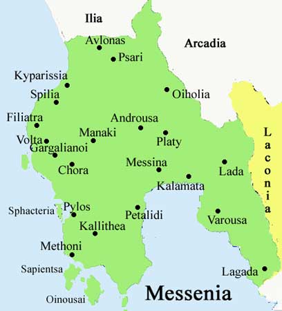
Allagi (Greek: Αλλαγή), also Allayi, Alagi, rarely Alai is a community of the Oichalia municipality, located less than 1 km south of GR-9A/E55 in the northern part of the prefecture of Messenia. It is located on a major highway linking Kalamata and Corinth, the GR-7/E55 and E65. Distance from Megalopoli is about 20 km S (old about 25 km S), about 35 km E of Kyparissia, Pyrgos is about 90 km SE and about 30 km N of Kalamata.
Nearest places
Geography Location: 37°14′26″ N 22°0′51″ E Postal code: 240 02 Elevation: 20 to 90 m Dialing code: +30-27240 (030-27240) Year Communal 1991 135 -
The community has a small school, a church, a restaurant, a post office and a square(plateia). The nearest train station is SW. Local streets are grid. Fertile lands dominate and surround most of Allagi while forests are founded to the west. Rocky mountains with a few bushes are founded to the east and north and also the Taygetus range. Olive groves are common in the west and north. The place had a mine slightly east.
Links:
See also:
Retrieved from "http://en.wikipedia.org"
|
|
||||||||||||