|
|
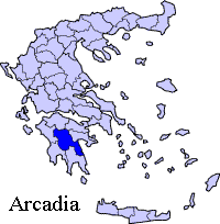
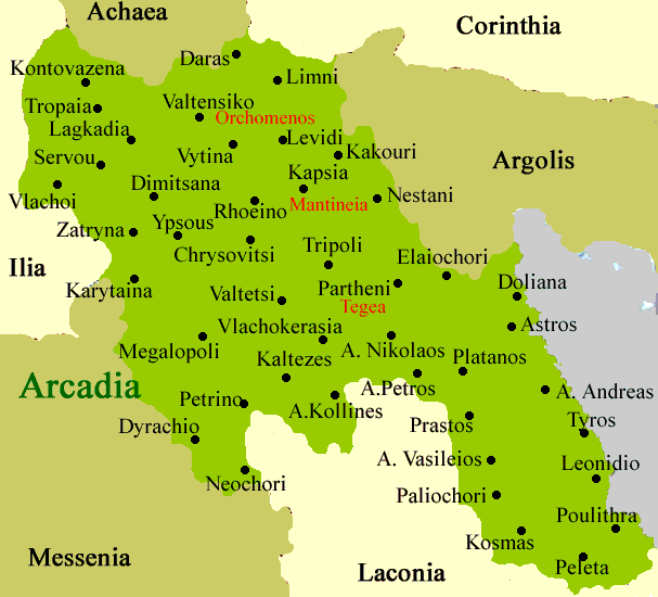
Derveni (Greek, Modern: Δερβένι, Ancient/Katharevousa: -on), older spellings, Dervenio, Dervenion is a village in the municipality of Megalopoli in the southwestern part of the prefecture of Arcadia. It was linked by GR-7/E65 which is now bypassed and the older one became an old highway. Distances from Megalopoli is aobut 12 km SW, about 60 km ESE of Andritsaina, approx. 8 km W of Leontari, about 42 km NE of Kalamata and ENE of Kyparissia. Corvy roads that lasted for around 10 km lie to the west Nearest places
Geography Location:
Postal code: 222 00 Elevation: 500 m Name of inhabitants: Dervenioti f, -s m Dialing code: +11+30-27910 (030-27910) Historical population Year Communal population 1920 93 The village has a school, a church and a square (plateia). It was one of the village where the population in the past 70 years only dropped nearly by half. The village of Derveni is surrounded with three mountain range, a taller one is south of the village. The village is covered with forests while not far from the village is mainly rocky and bushy. In 1940 the old name Dervenia (Greek: Δερβένια) replaced by Derveni.
 |
|
|||||||||||||||

|
|