|
|
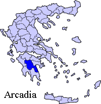
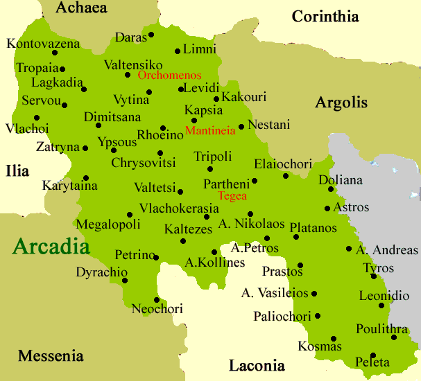
Kontovazaina (Greek: Κοντοβάζαινα) is a village and synonymous municipality in Arcadia, Greece. Population 500 (2001). The Achaia prefecture is bounded to the north and the Ilia to the west. Kontovazena is located around 10 km southwest of the GR-33 (Patras - Tripoli) and north of the GR-74 (Tripoli - (Ancient) Olympia - Pyrgos). The village has about 10 km of paved road, 6 km of gravel road and has about 8 km of hydro and phone lines. Geography Its geography are mainly forested with pine, cedars and spruces with some other trees including willow. Barren lands and farmlands also dominates the area especially in the mountainous areas. The Afrodisio mountains dominate the northg and the Ladon river to the south with its lake near the municipal boundary. History After World War II and the Greek Civil War, its buildings were rebuilt and emigration occurred at a higher rate until 1981, it became one of the few villages in mountainous Arto regain is population but once again lost. Kontovazena became connected with asphalt in the 2000s. Electricity, radio and automobiles were introduced in the mid-20th century, television in the late-20th century and computer and internet at the turn of the millennium. In 1997, the ex-community (now a village and a municipal district) joined to become the newly formed municipality of Kontovazena and became its seat. The village today Kontovazena has 13 churches,a school(dimotiko and gymnasium) a post office, and a square (plateia). Its nearest, lyceum and is in Tropaia. Today, it is a village with some inhabitants, it is mostly populated during the summer months. The population depends on olive and cattle productions. Division of the municipality (Δ.δ. : municipal department)
Retrieved from "http://en.wikipedia.org/"
 |
||||||||||||||||


