|
|
Ovrya () is a town in Greece, located just 3 mi (5 km) directly south of Patras, and 4 mi (7 km) south from the GR-33 highway. It is a suburb within the Patras metropolitan area. It is also the seat of the Municipality of Messatidos. Olive groves, and pasture used to dominate the area however, house building has been booming with the population growth within the Patras area. Much of the locality is hilly and slightly rugged. The neighboring communities are Mintologi to the SW, Paralia (Patras Beach) to the W, Deménika, Zarchoulaiika and Patras to the N, Savala to the NE, Kríni to the E, and Thea and Kallithea to the S. It is dominated with hills south of the community, and flat terrain is around 20% of Ovrya. The line now starting east of the new beltway. There are streets with about 70% to 80% (excluding the beltway) are narrow. The rest are widened two-lane local streets. It is bordered by the municipal boundaries of Paralia and Patras, and non-municipal boundaries of Demenika, Kríni, Théa-Kallithéa.
Image of Ano Ovrya (Source)
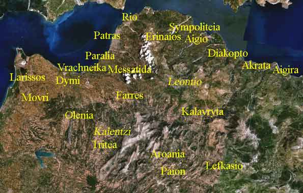
View of Patras from Ovrya (*) The community main street is Demokratías Street (GR-33 Patras-Tripoli Highway), and followed by Eleías Street (Old GR-9), and secondary streets are Polytechneíou which ends near Kríni where the remaining olive groves and pastures are founded. Ovrya's first school next to its narrowest street (Ovrya's south side) are lined up with a few trees, and neighbors the remaining olive groves and pastures of Patras. Ovryá is divided in Ano Ovryá and Kato Ovrya. Ovryá has two schools, churches, playgrounds, community square, and thousands of houses and buildings (2,000 for the community, and 4,000 for the municipality in range.) Ovrya and Messatidos have no hotels. The nearest hospital is in Aghios Andreas N of Ovrya. It has access to it beaches in the southwest. Two gas stations, Silk Oil where Texaco used to be, and an Esso (Eko, Exxon) gas station is next to an exit formerly the 6th exit of the beltway. Two mountains are Omplos, a cliffy rocky one SE, hills to the south, seaside beach towns to its west, mountains of Acarnania to its north and the amazing Pan-Achaean Panachaiikós range and the Achaia Clauss in the NE.
Ovrya Stadium (Γήπεδο Φωστήρα Οβρυάς) (*) Much of the housing developments began in the 1970s when Patras was booming. (*) Images Source
You are leaving Ovrya (image A. Christaras)
 |
|
||||||||||||||||||||||||||||||||||||


|
|