|
|
Gavalou, also with the u accented. (Greek: Γαβαλού) is a village in Aetolia-Acarnania, Greece. Its 2001 population was 1386. Gavalou is in the municipality of Makryneia. The village is located south and southeast of Lake Trichonida.
Nearest places
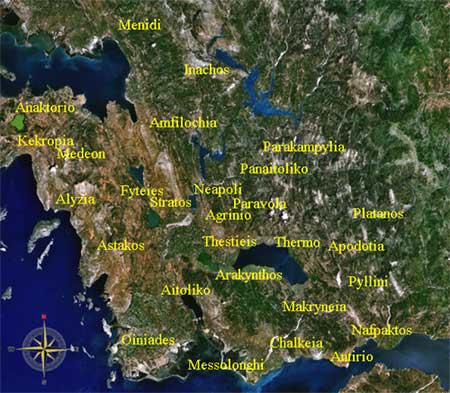
Population Year Population 1991 1383 Geography Its geography includes farmlands within the shoreline and mountains to the south with forests and grasslands. History The village was struck by several earthquakes, its epicenter was located in nearby Lake Trichonida, close to the centre. The first quake rumbled at around 2 AM, the second around 6 AM, three earthquakes shook at 10:13, 10:14 and 10:15 AM, and the last one at around 10:15 pm, it measured 5.3, 5.4, 5.6 and 5.7 on the Richter scale. Several houses and buildings were damaged and were in the minor ranges. Gavalou is linked with a road linking the GR-5 (Antirrio - Messolongi - Arta - Ioannina) and the eastern half. Makryneia is located south of Karpenisi, WNW of Nafpaktos, north of Messolongi, ENE of Aitoliko and ESE of Agrinio. Gavalou Province: Trichonida Municipal district: Kato Makrynou (seat) Population: (2001) 1386 Altitude: Postal code: GR-300 15 Map and aerial photos: Gavalou Google Earth Coordinates: 38°28′41″N, 21°37′33″E
 |
|
|||||||||||||||

|
|